Background
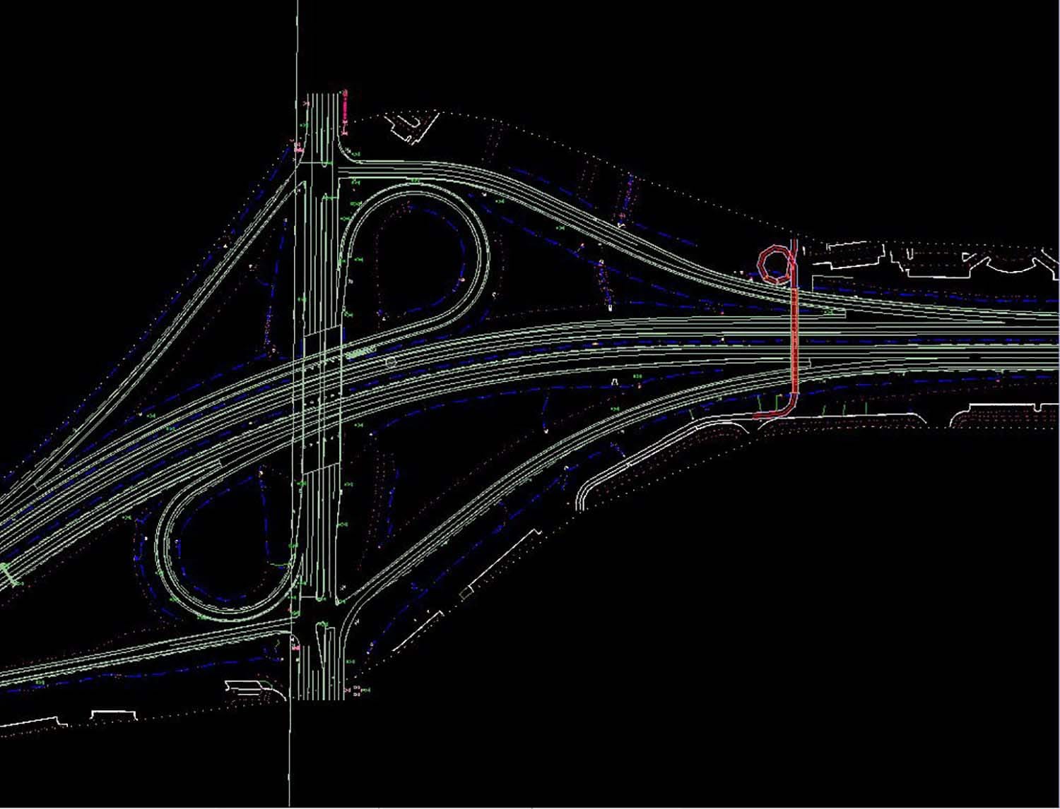
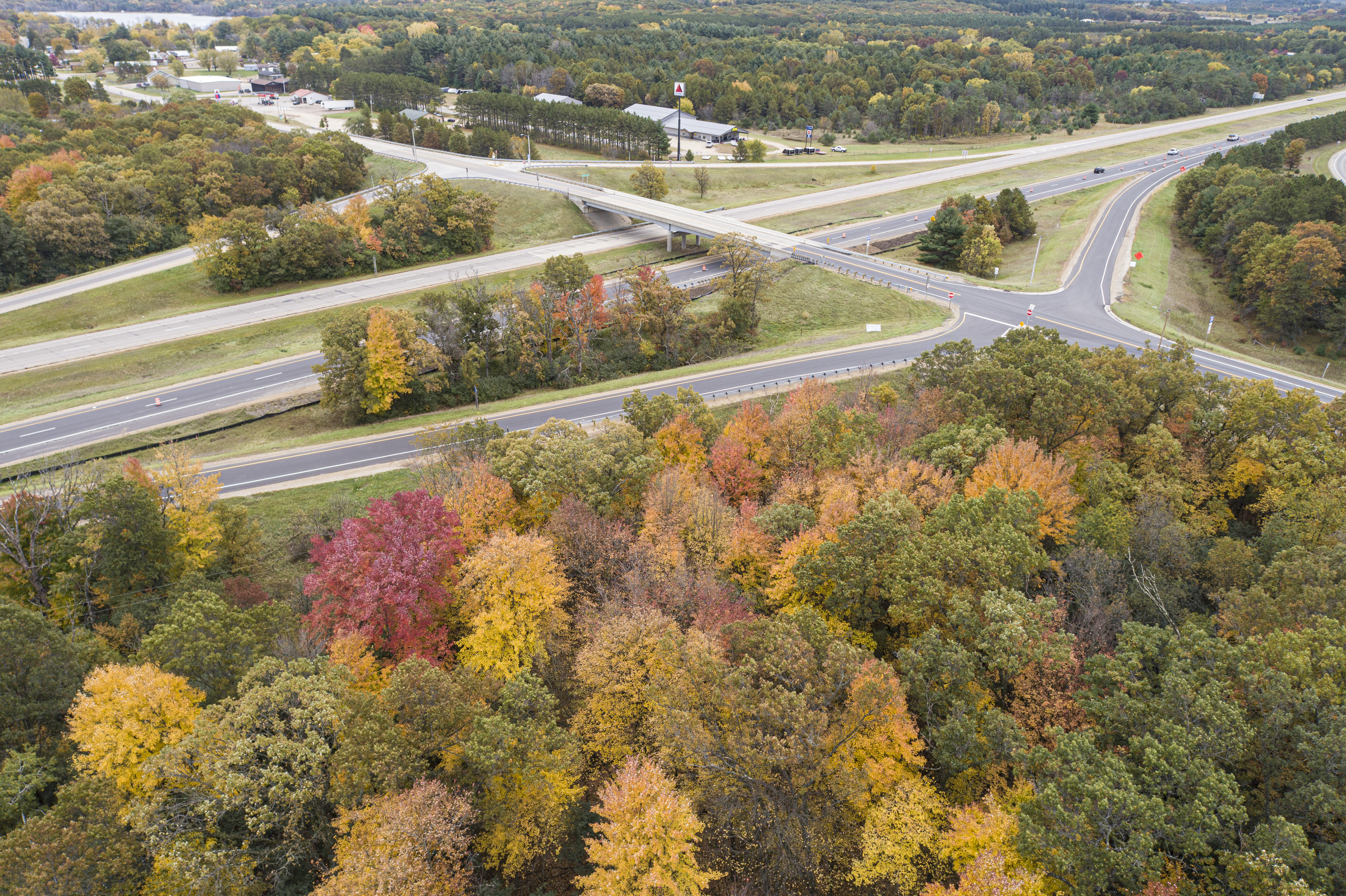
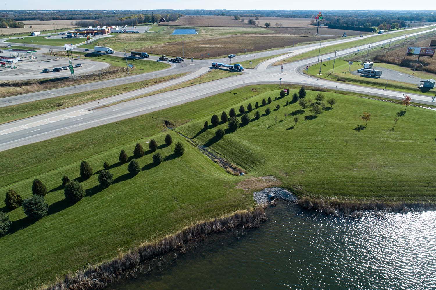
To address traffic concerns and long delays, the Iowa Department of Transportation (IaDOT) hired Foth to partner in a study and concept development for the interchange at Interstate 80 and US Highway 169. The project consisted of a traffic study, alternatives development, survey data and utilities, and conceptual roadway and bridge design.
Approach
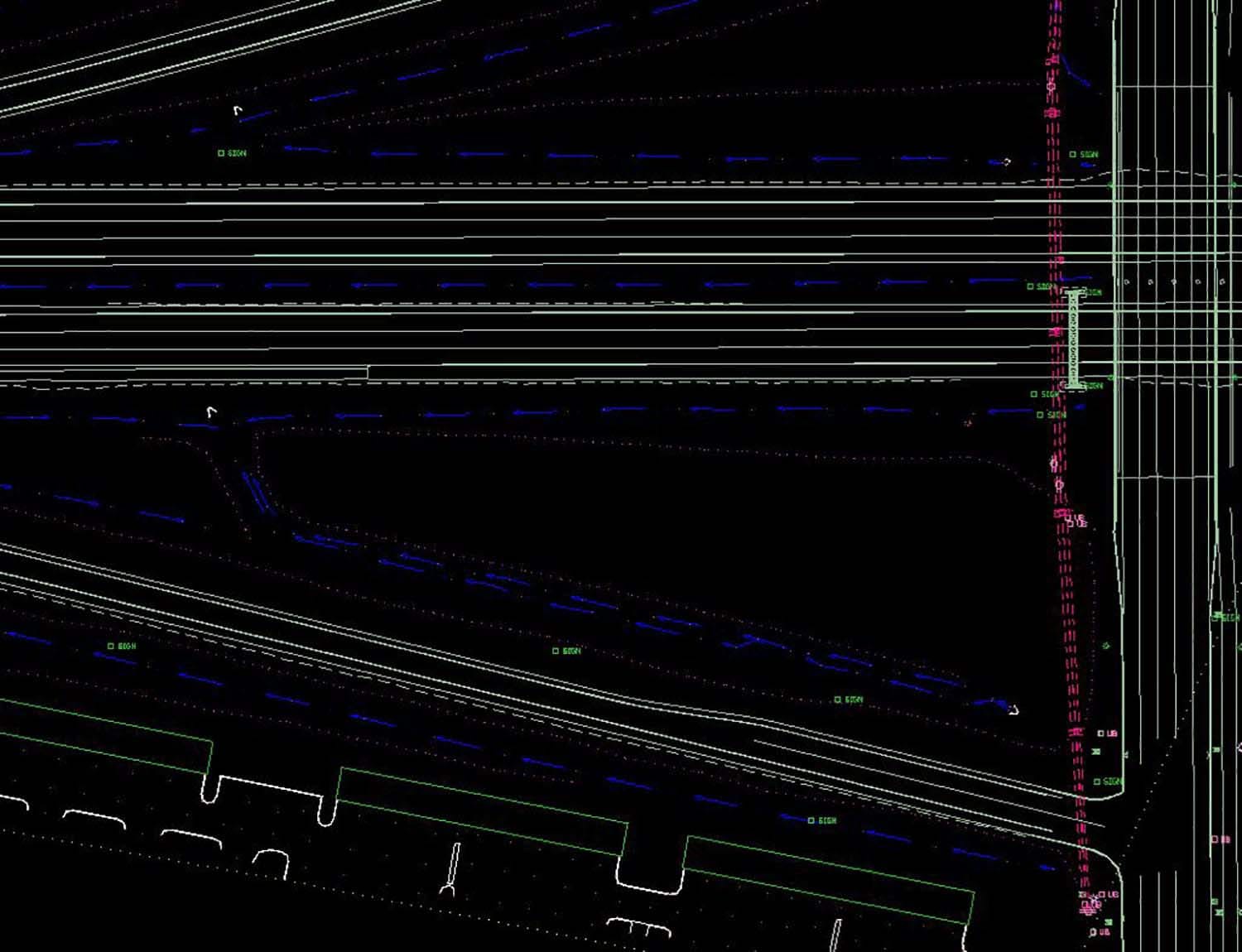
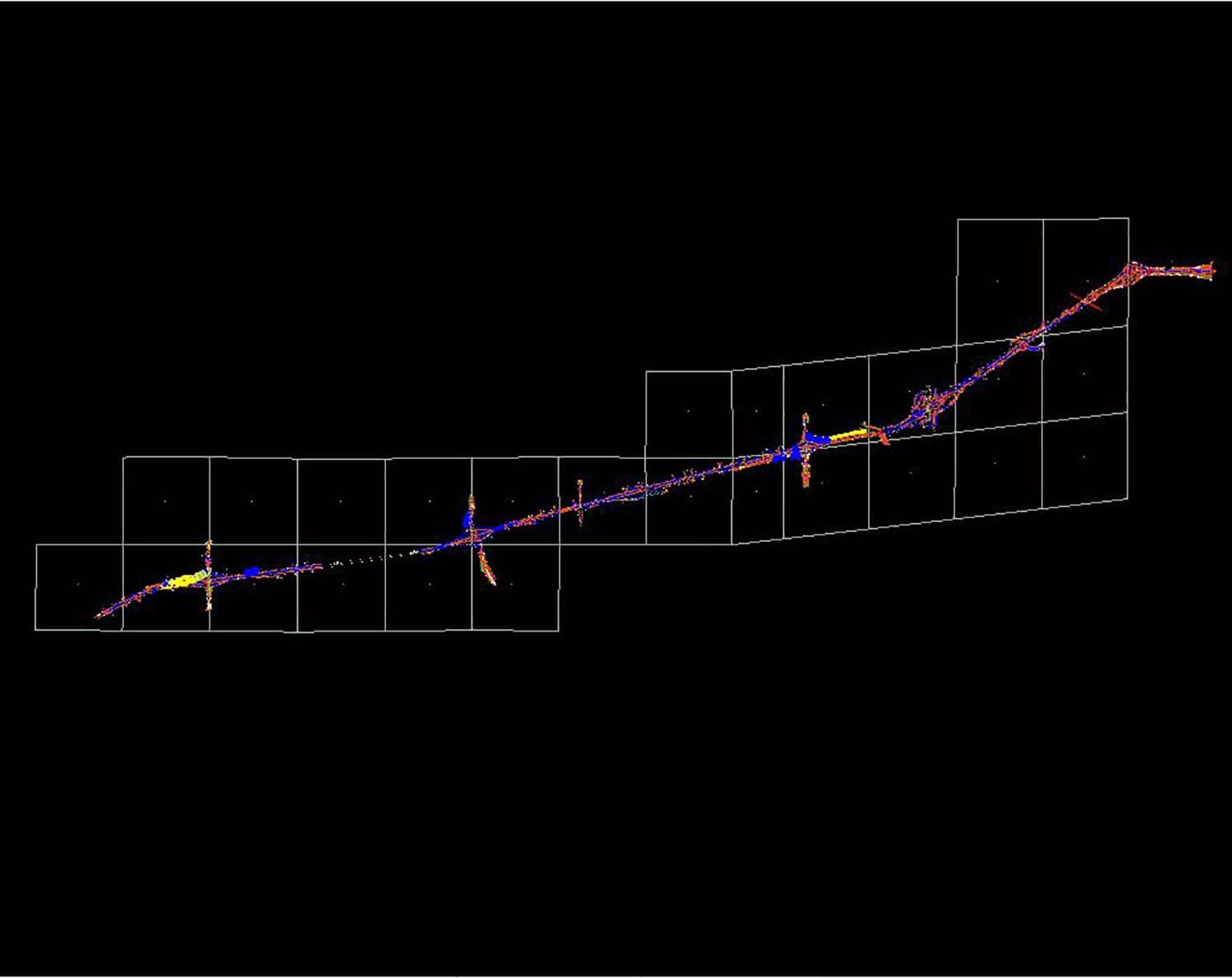
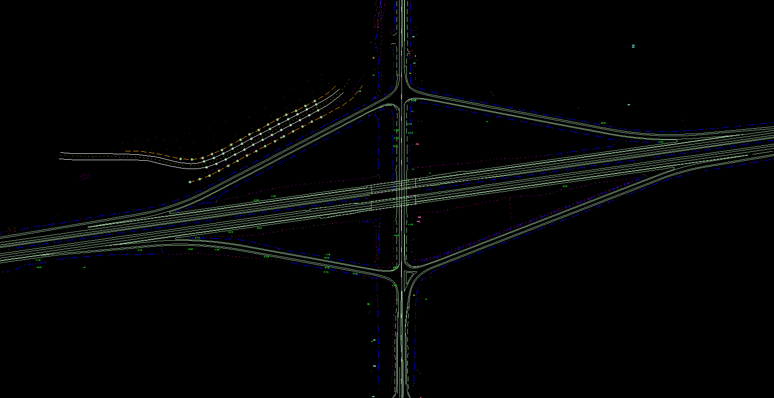
Our geospatial team utilized a variety of data collection technologies in order to provide one seamless product for design purposes. In combination with IaDOT provided photogrammetry, our team also implemented sUAS photogrammetry, mobile LiDAR, IaDOT 3D SUE tools, and traditional boots-on-the ground surveying techniques.
We worked closely with the IaDOT to determine which improvements would provide short-term solutions while maximizing the existing infrastructure’s lifespan until reconstruction. Conceptual improvements included the addition of traffic signals, widening of US 169 to provide left turn lanes onto I-80, widening of the I-80 westbound off ramp to provide dedicated right and left turn lanes at US 169, and the widening of the I-80 eastbound on ramp.
Results
The data and final product generated a map of above ground topography and existing right-of-ways. Not only did this provide an accurate basis for conceptual design, but our tools and techniques enabled increased safety for field personnel in the data collection phase, reducing project risk.
Markets: Departments of Transportation
Services: Geospatial and Geophysical

